-

Foto: Innotime -

Foto: Innotime -

Foto: Innotime -

Foto: Innotime -

Foto: Innotime


Salgótarján
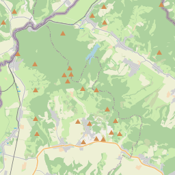
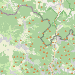
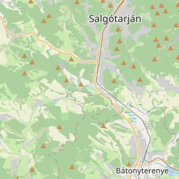
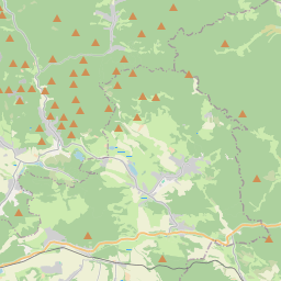
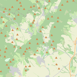
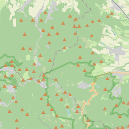
Salgótarján is located at the meeting point of the Karancs, Medves, and Cserhát mountain ranges, in the narrow valleys of the Tarján Creek and the Zagyva River basin, which form a distinctive "Y" shape. These two main valleys are further divided into smaller basins, where the city's more remote districts, such as Baglyasalja and Zagyvapálfalva, are situated.
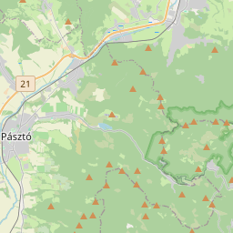
The central valley areas of the city lie at an elevation of 230–240 meters, while other inhabited areas range between 220 and 500 meters above sea level. Salgótarján's main transportation routes include Route 21, running from south to north along the Tarján Creek valley, and the Hatvan–Somoskőújfalu railway line.
The highest inhabited area of the city is Salgóbánya, located at 500 meters, while the tallest mountain in the region is Karancs, rising to 729 meters.
Como chegar
- A pé
- Com um cavalo
- De bicicleta
- De bicicleta elétrica
- De trem
- De ônibus (alugado para a viagem)
- De moto
- De carro
Chegada
- A pé
- De bicicleta
- De bicicleta elétrica
- De ônibus público
- De ônibus (alugado para a viagem)
- De moto
- De carro
Atrações, programas
Todos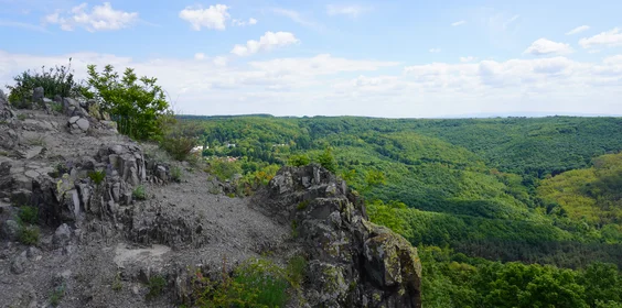
O que você encontrará aqui?
Transporte público
- ferrovia
- ônibus
Informações de estacionamento
- Estacionamento pago disponível