-

照片: Innotime -

照片: Innotime -

照片: Innotime -

照片: Innotime -

照片: Innotime


Salgótarján
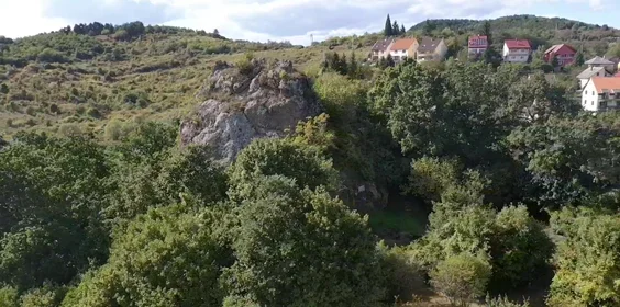
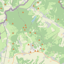
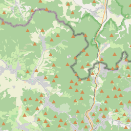
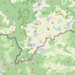
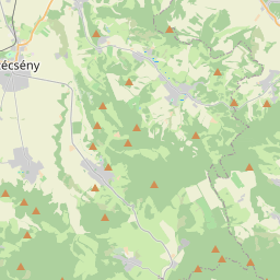
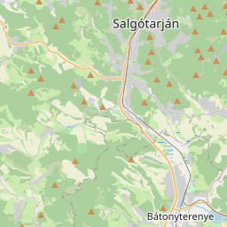
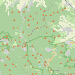
Salgótarján is located at the meeting point of the Karancs, Medves, and Cserhát mountain ranges, in the narrow valleys of the Tarján Creek and the Zagyva River basin, which form a distinctive "Y" shape. These two main valleys are further divided into smaller basins, where the city's more remote districts, such as Baglyasalja and Zagyvapálfalva, are situated.
The central valley areas of the city lie at an elevation of 230–240 meters, while other inhabited areas range between 220 and 500 meters above sea level. Salgótarján's main transportation routes include Route 21, running from south to north along the Tarján Creek valley, and the Hatvan–Somoskőújfalu railway line.
The highest inhabited area of the city is Salgóbánya, located at 500 meters, while the tallest mountain in the region is Karancs, rising to 729 meters.
前往方式
- 步行
- 骑马
- 骑自行车
- 电动自行车
- 火车
- 租赁巴士
- 摩托车
- 驾车
到达
- 步行
- 骑自行车
- 电动自行车
- 公共巴士
- 租赁巴士
- 摩托车
- 驾车
景点、活动
全部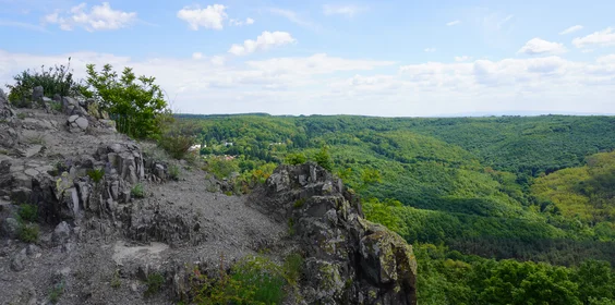
您在这里能找到什么?
公共交通
- 火车
- 公交车
停车信息
- 可用付费停车场