-

写真: Innotime -

写真: Innotime -

写真: Innotime -

写真: Innotime -

写真: Innotime


Novohrad-Nógrád UNESCO Global Geopark
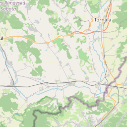
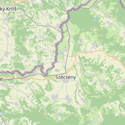
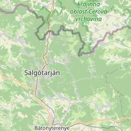
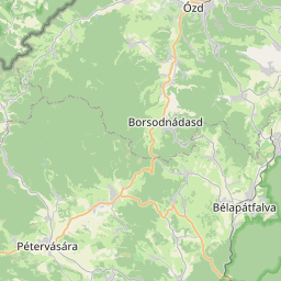
The Novohrad-Nógrád Geopark, covering an area of 1,619 km², is the world's first cross-national geopark, aimed at healing the once fragmented landscape of the Nógrád region. This geopark nurtures and showcases the geological, natural, historical, and cultural treasures of 64 Hungarian and 28 Slovak settlements, particularly preserving the Palóc traditions. Its mission is to use geotourism to reconnect the region's fragmented communities and elevate the ancient landscapes of the Carpathian Basin to among Europe's premier values. The park boasts a geological heritage that preserves the last 30 million years of the Carpathian Basin's history, rich with paleontological sites and volcanic formations.
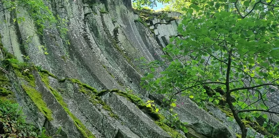
The Novohrad-Nógrád Geopark contains a variety of geological treasures ranging from 30-million-year-old shallow marine sediments to gorges from the Holocene-Pleistocene era. In this region, medieval cave dwellings were carved into sedimentary rocks, such as in Kishartyán and Szentkút, and medieval castles were built atop volcanic necks, demonstrating the tight interweaving of cultural and geological formations.
The geopark encompasses numerous significant geological objects under local protection, including the world-famous paleontological site in Ipolytarnóc, which qualifies as a European Diploma protected area, as well as several protected landscapes. A section of the Ipoly River, which is under EU NATURA 2000 protection, is also within the geopark. The area is rich in cultural values, including the Piliny culture, archaeological finds from the medieval core of Szécsény and the border castle system, the pilgrimage site of Szentkút preserving Palóc traditions, the vibrant folk dance culture, and the World Heritage site of Hollókő's Old Village along with Kazár.
アクセス方法
- 徒歩
- 馬
- 自転車
- 電動自転車
- 鉄道
- 貸切バス
- バイク
- 車
到着
- 徒歩
- 馬
- 自転車
- 電動自転車
- 公共バス
- 貸切バス
- バイク
- 車
観光名所、プログラム
すべて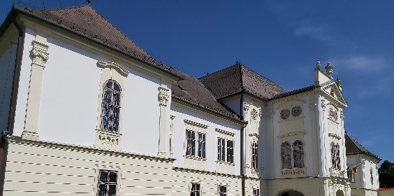

ここで何が見つかりますか?
この目的地を含むルート

ルートを見る

公共交通機関
- 列車
- バス
駐車情報
- 無料の屋外駐車場が利用可能
- 有料駐車場が利用可能
- 無料のバス駐車場が利用可能
- 有料のバス駐車場が利用可能
- 有料の電気自動車充電が利用可能
持続可能性状況レポート
トピック 1: 観光地管理 55%
- 訪問者管理: 2/5 70%
- コミットメントと組織: 1/4 38%
- 設計と開発: 4/6 67%
- 監視と報告: 2/4 50%
- 法律および倫理の遵守: 1/2 50%
トピック 2: 自然と景観 90%
- 自然と野生動物の保護: 3/3 100%
- 自然と保護: 4/5 80%
トピック 3: 環境と気候 39%
- 土地利用と汚染: 1/3 50%
- 水管理: 1/5 30%
- エネルギー、持続可能なモビリティ、気候変動: 1/7 14%
- 気候変動への適応: 1/2 50%
- 廃棄物とリサイクル: 2/5 50%
トピック 4: 文化と伝統 83%
- 文化遺産: 2/3 67%
- 人々と伝統: 4/4 100%
トピック 5: 社会福祉 59%
- 健康と安全: 1/2 50%
- 地域経済: 3/5 60%
- 社会経済的影響: 1/2 50%
- コミュニティの参加: 2/4 50%
- 人間の尊厳: 6/7 86%
トピック 6: ビジネスとコミュニケーション 56%
- 企業の参加: 1/9 11%
- 情報とマーケティング: 3/3 100%