-

사진: Innotime -

사진: Innotime -

사진: Innotime -

사진: Innotime -

사진: Innotime


Novohrad-Nógrád UNESCO Global Geopark
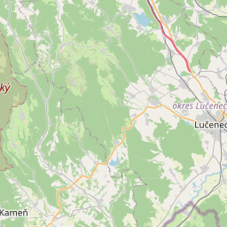
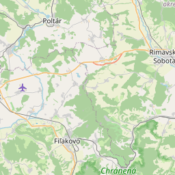
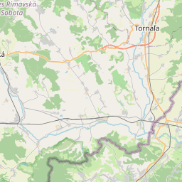
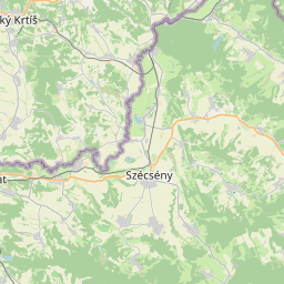
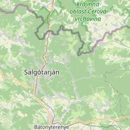
The Novohrad-Nógrád Geopark, covering an area of 1,619 km², is the world's first cross-national geopark, aimed at healing the once fragmented landscape of the Nógrád region. This geopark nurtures and showcases the geological, natural, historical, and cultural treasures of 64 Hungarian and 28 Slovak settlements, particularly preserving the Palóc traditions. Its mission is to use geotourism to reconnect the region's fragmented communities and elevate the ancient landscapes of the Carpathian Basin to among Europe's premier values. The park boasts a geological heritage that preserves the last 30 million years of the Carpathian Basin's history, rich with paleontological sites and volcanic formations.
The Novohrad-Nógrád Geopark contains a variety of geological treasures ranging from 30-million-year-old shallow marine sediments to gorges from the Holocene-Pleistocene era. In this region, medieval cave dwellings were carved into sedimentary rocks, such as in Kishartyán and Szentkút, and medieval castles were built atop volcanic necks, demonstrating the tight interweaving of cultural and geological formations.
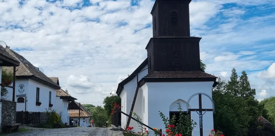
The geopark encompasses numerous significant geological objects under local protection, including the world-famous paleontological site in Ipolytarnóc, which qualifies as a European Diploma protected area, as well as several protected landscapes. A section of the Ipoly River, which is under EU NATURA 2000 protection, is also within the geopark. The area is rich in cultural values, including the Piliny culture, archaeological finds from the medieval core of Szécsény and the border castle system, the pilgrimage site of Szentkút preserving Palóc traditions, the vibrant folk dance culture, and the World Heritage site of Hollókő's Old Village along with Kazár.
찾아가는 방법
- 도보
- 말
- 자전거
- 전기 자전거
- 기차로
- 대여 버스
- 오토바이
- 자동차
도착
- 도보
- 말
- 자전거
- 전기 자전거
- 공공 버스
- 대여 버스
- 오토바이
- 자동차
명소, 프로그램
전체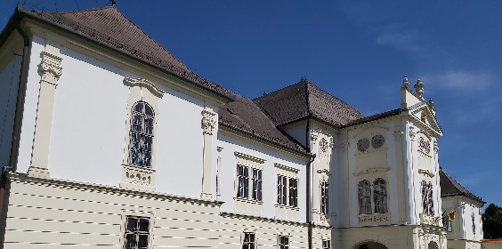

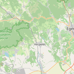
여기에서 무엇을 찾을 수 있나요?
-
관광 명소
이 목적지를 포함하는 경로

경로 보기

대중교통
- 기차
- 버스
주차 정보
- 무료 야외 주차 가능
- 유료 주차 가능
- 무료 버스 주차 가능
- 유료 버스 주차 가능
- 유료 전기 자동차 충전 가능
지속 가능성 상태 보고서
주제 1: 목적지 관리 55%
- 방문자 관리: 2/5 70%
- 헌신 및 조직: 1/4 38%
- 디자인 및 개발: 4/6 67%
- 모니터링 및 보고: 2/4 50%
- 법적 및 윤리적 준수: 1/2 50%
주제 2: 자연 및 경관 90%
- 자연 및 야생 동물 보호: 3/3 100%
- 자연 및 보존: 4/5 80%
주제 3: 환경 및 기후 39%
- 토지 이용 및 오염: 1/3 50%
- 물 관리: 1/5 30%
- 에너지, 지속 가능한 이동성 및 기후 변화: 1/7 14%
- 기후 변화에 대한 적응: 1/2 50%
- 폐기물 및 재활용: 2/5 50%
주제 4: 문화와 전통 83%
- 문화 유산: 2/3 67%
- 사람과 전통: 4/4 100%
주제 5: 사회 복지 59%
- 건강 및 안전: 1/2 50%
- 지역 경제: 3/5 60%
- 사회경제적 영향: 1/2 50%
- 지역사회 참여: 2/4 50%
- 인간 존엄성: 6/7 86%
주제 6: 사업 및 커뮤니케이션 56%
- 사업 참여: 1/9 11%
- 정보 및 마케팅: 3/3 100%